
The Best of Southern Peru
Arequipa and the Colca canyon, Lake Titicaca, Cusco and Machu Picchu.
Overview
Eleven days across the south
A special tour through Arequipa and the Colca canyon, Lake Titicaca, Cusco and Machu Picchu. It begins and ends in Lima, and crosses the Andes overland between Puno and Cusco rather than flying over them, which is how most of the archaeology on that stretch is seen at all.
The high points are real ones: the Patapampa pass at 4,800 m on the way to Puno, La Raya at 4,338 m between Puno and Cusco. The order of the days is built around them, starting at sea level in Lima and gaining the altitude gradually.
Your route through the south
From the coast to the altiplano and down into the Urubamba valley, overland wherever the road is worth the hours.
- Lima — the historic centre and the Larco Museum
- Arequipa — the White City
- Chivay and the Colca valley
- Cruz del Cóndor
- Puno — Lake Titicaca
- Uros and Taquile islands
- La Raya pass, Raqchi and Andahuaylillas
- Cusco
- Sacsayhuamán and Pisac
- Chinchero, Moray and Maras
- Machu Picchu
Itinerary
The journey, day by day
100% customisable. This is the shape of the trip; the dates, the pace and the nights either side are yours.
-
1 Lima — arrival
Upon your arrival in Lima, our team will warmly welcome you at the airport and assist with your luggage. You will then be transferred to your hotel in a comfortable, private vehicle. Once at the hotel, we will ensure your check-in process is perfect.
- AltitudeLima 161 m / 528 ft
-
2 Lima — the historic centre and the Larco Museum 5–6 hours
Lima, known originally as the City of Kings, was founded by the Spanish in 1535. The colonial heart of the city grew around the Plaza Mayor: the presidential palace, built on the site Francisco Pizarro chose for his own house; the cathedral, first completed in 1649; and the 17th century San Francisco church, renowned for its library of antiquarian books and its catacombs. The Larco Museum, established in 1926, holds its collection of pottery and precious metal objects in an 18th century mansion built over the foundations of a pre-Inca temple. From the historic centre we continue to Miraflores and San Isidro, the parks above the Pacific and the city’s culinary scene.
- Visiting time5–6 hours
- AltitudeLima 161 m / 528 ft
-
3 Lima – Arequipa, the White City Flight 80 minutes · tour 3 hours
Early morning transfer to the airport for the 80-minute flight to Arequipa, with the rest of the morning free to rest and acclimatise. Arequipa is nestled in a fertile valley flanked by volcanoes and known as the White City for its colonial buildings of sillar, a white volcanic stone; its historic centre is a UNESCO World Heritage Site. In the afternoon, the colonial city tour: the Plaza de Armas and the Basilica Cathedral, the Jesuit Church and Cloisters with their baroque carvings, San Francisco Church, and an in-depth visit to the Santa Catalina Convent, founded in 1580, which once housed over 450 cloistered nuns.
- FlightLima – Arequipa, 80 minutes
- TourColonial city tour, 3 hours
- AltitudeArequipa 2,300 m / 7,600 ft
- OptionalJuanita Mummy Museum
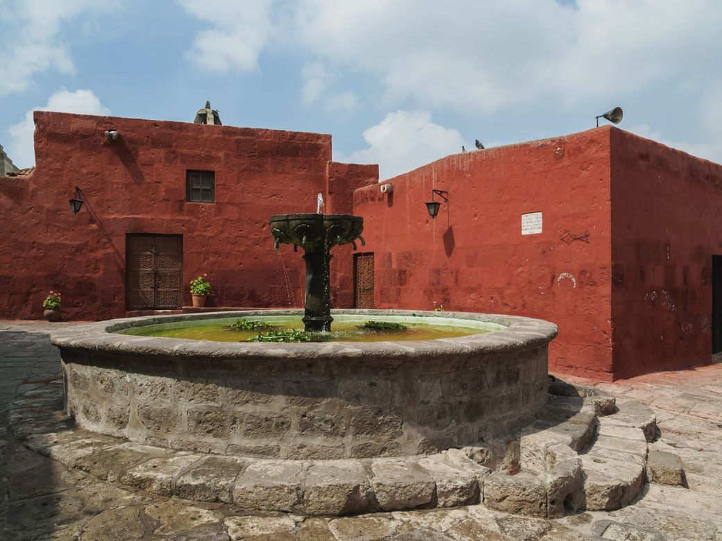
Santa Catalina, founded in 1580. 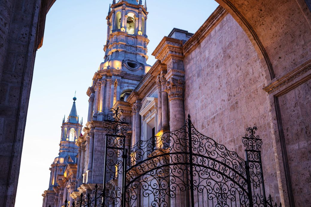
Sillar, the white volcanic stone. -
4 Arequipa – Chivay, into the Colca valley Arequipa to Chivay, arriving around noon
We depart Arequipa at 8:00 AM for the town of Chivay, at the entrance of the canyon. On the way we reach a high mountain pass at 4,450 metres, with views of distant volcanoes and the Andean plains, and cross the Cañahuas plain, a highland reserve where vicuñas are commonly seen. We expect to arrive in Chivay around noon, with the afternoon free for the town and its markets.
- AltitudePass 4,450 m · Chivay 3,635 m / 11,922 ft
- OptionalLa Calera hot springs
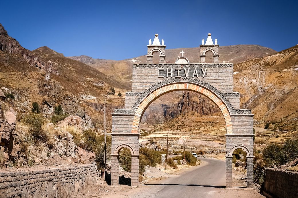
The arch at Chivay. -
5 Cruz del Cóndor – Puno 84 km round trip, then 298 km to Puno
We leave Chivay at 6:00 AM for Cruz del Cóndor. In the stillness of the early morning the Andean condors ride the thermal currents rising from the ravines, with wingspans of up to three metres. We return through the villages of Tapay, Pinchollo, Maca and Yanque, past terraces still in use today. In the afternoon we board a tourist-class bus to Puno, stopping at Patapampa, the highest point on the route, at the Pampa Cañahuas, and at Lagunillas, where flamingos wade in the shallows.
- DrivingChivay – Cruz del Cóndor return 84 km · Chivay – Puno 298 km (5.5–6 hours)
- AltitudePatapampa 4,800 m / 15,748 ft · Puno 3,870 m / 12,697 ft
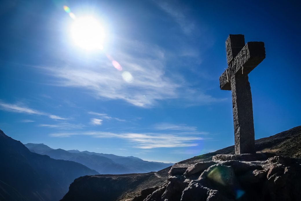
Cruz del Cóndor, early. 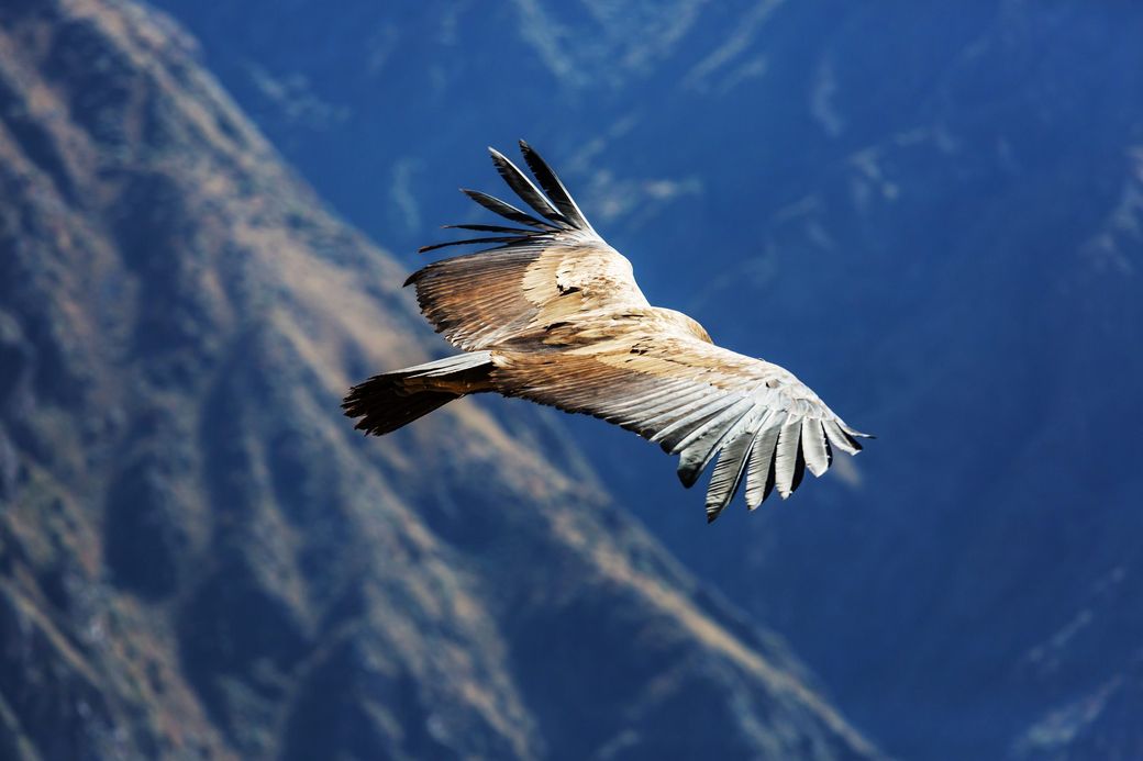
Three metres, wingtip to wingtip. 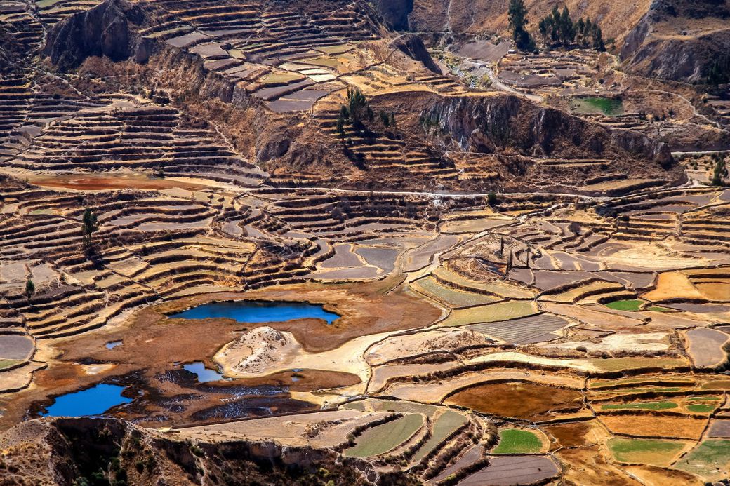
Terraces still in use today. -
6 Lake Titicaca — the Uros islands and Taquile 42 km each way by boat, 3.9 km on foot
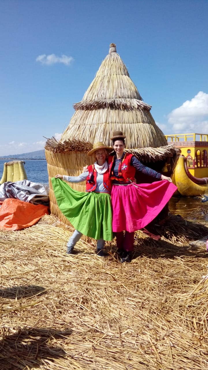
A full-day boat excursion on the highest navigable lake in the world. The Uros are around 70 artificial islands made entirely of totora reeds, used to build the islands themselves, the houses and the boats, and relaid constantly. We walk on one of them and meet local families. Taquile lies 42 km from Puno and is only 7 km long by 1 km wide, terraced with Inca platforms still in use. Taquile’s handwoven textiles are recognised by UNESCO as Intangible Cultural Heritage of Humanity; the men knit from a young age and the women spin and dye the wool.
- BoatPuno – Uros – Taquile, 42 km each way
- HikingNorth port to Taquile 2.4 km uphill (1.5–2 h) · down to the south port 1.5 km (1 h)
- AltitudeUros 3,810 m · Taquile 3,950 m / 12,959 ft
The Uros islands, Lake Titicaca. 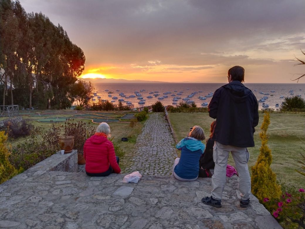
Sunset over the lake. -
7 Puno – Cusco, by the high road 387 km / 240 miles, 9.5 hours with the stops
We cross to Cusco by road, stopping as often as the route deserves. Pukara, cradle of the Pukara culture (1400 BC – 600 AD), whose ceremonial complex holds nine pyramidal structures; its Santa Isabel church was built by the Jesuits in 1767. La Raya, at 4,338 metres, marks the boundary between the Cusco and Puno regions and the watershed between the Vilcanota, which flows to the Amazon, and the Ayaviri, which feeds Titicaca. Raqchi, where the Temple of Wiracocha once carried the largest roof in the Inca empire on an adobe wall rising over 18 metres. And Andahuaylillas, whose church of San Pedro is known as the Sistine Chapel of the Americas.
- Driving387 km / 240 miles, 9.5 hours including the stops and visits
- AltitudeLa Raya 4,338 m · Raqchi 3,460 m · Cusco 3,400 m / 11,159 ft
-
8 Cusco — the walking city tour 4 hours on foot
The Cathedral was built between 1560 and 1654 on the site of the palace of the Inca Wiracocha, its main altar covered in silver and its walls hung with paintings of the Cusco School. Qorikancha, the Temple of the Sun, had walls originally covered in gold; what remains is the stonework, cut so precisely it has outlasted every earthquake since. We walk the streets lined with original Inca walls to San Blas, a neighbourhood of craftsmen since Inca times and still full of workshops.
- Visiting time4 hours
- AltitudeCusco 3,400 m / 11,159 ft
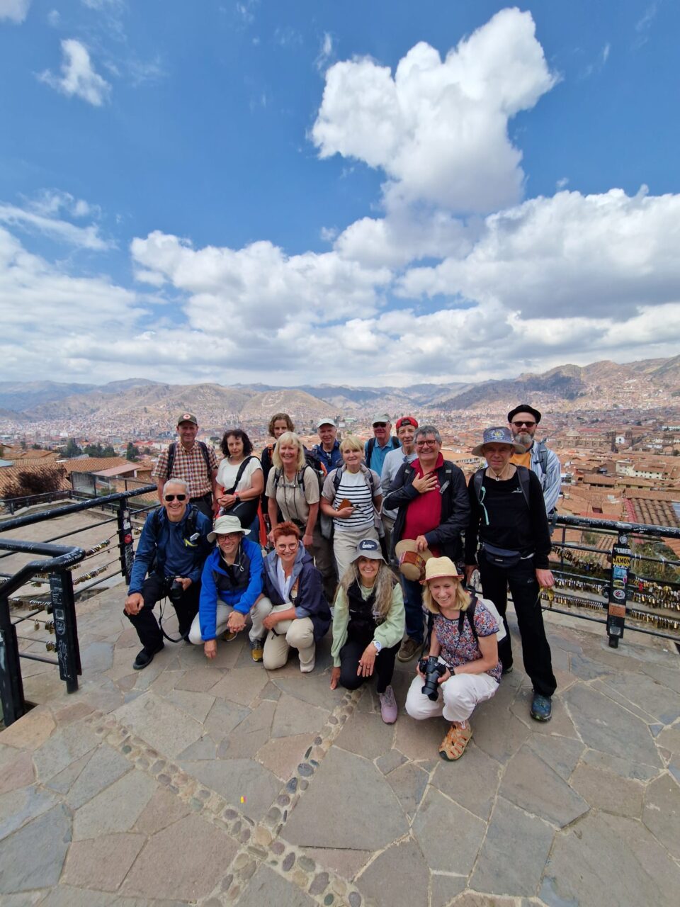
Cusco, from above. 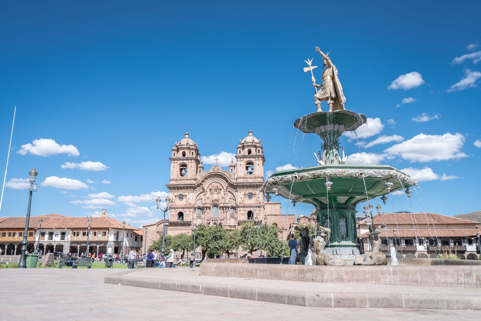
The Plaza de Armas. -
9 Sacsayhuamán and the Sacred Valley — Pisac 60 km, a nine-hour day
Sacsayhuamán stands on the hill above the city: three terrace walls of stones so closely fitted that a sheet of paper will not pass between them, the largest wall some 400 metres long, the heaviest block estimated between 128 and 200 tons. Then Qenqo, a limestone outcrop carved into a subterranean altar; Puca Pucara, a fortified complex; and Tambomachay, a water shrine. Crossing into the Sacred Valley we stop at Awanacancha for the camelids and the weaving, and continue to Pisac, whose market is one of the best known in the region and whose ruins stand along the ridge above the Urubamba, terraced and centred on the Intihuatana, the hitching post of the sun.
- Driving60 km / 37.2 miles
- Visiting time9 hours
- AltitudeSacsayhuamán 3,650 m · Pisac 2,972–3,450 m · Urubamba 2,871 m
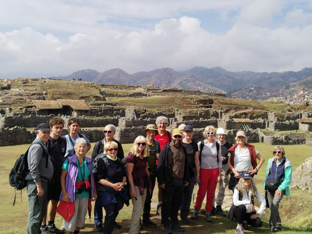
Sacsayhuamán. 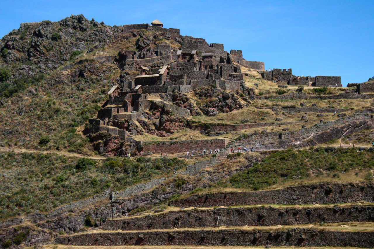
The terraces at Pisac. -
10 Chinchero, Moray, Maras and Ollantaytambo Chinchero, Moray and the salt pans
An early visit to Chinchero, a traditional village on a high plain at 3,762 metres where the local dress has changed little since the 17th century and the market trades handwoven textiles, alpaca, jewellery and ceramics. Then Moray, circular Inca terraces shaped like an amphitheatre and 150 metres deep, likely used to work out which crops grew at which altitude. Lunch at Maras, and the salt pans: thousands of pools that have produced salt by evaporation since Inca times.
- AltitudeChinchero 3,762 m / 12,342 ft
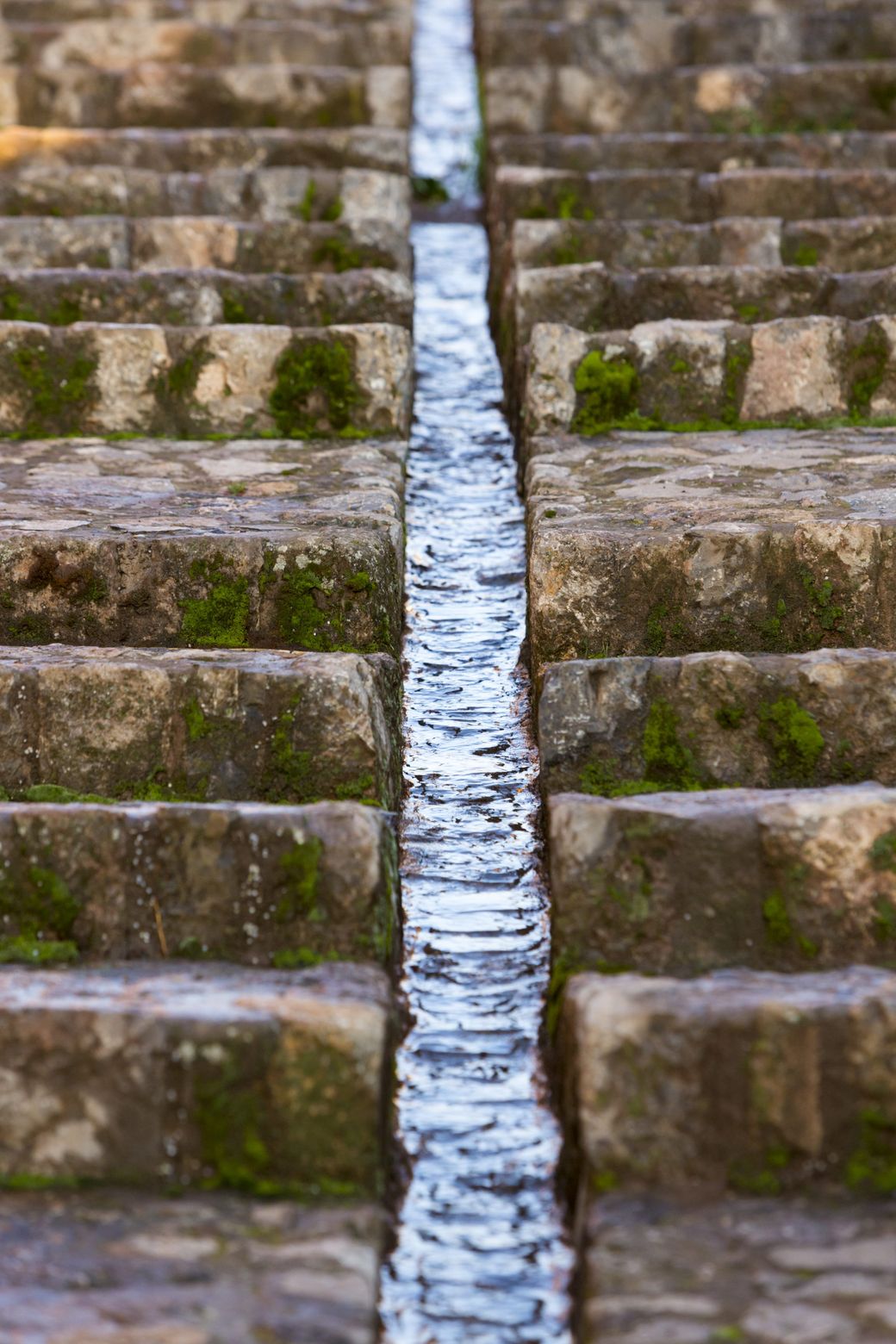
Chinchero. 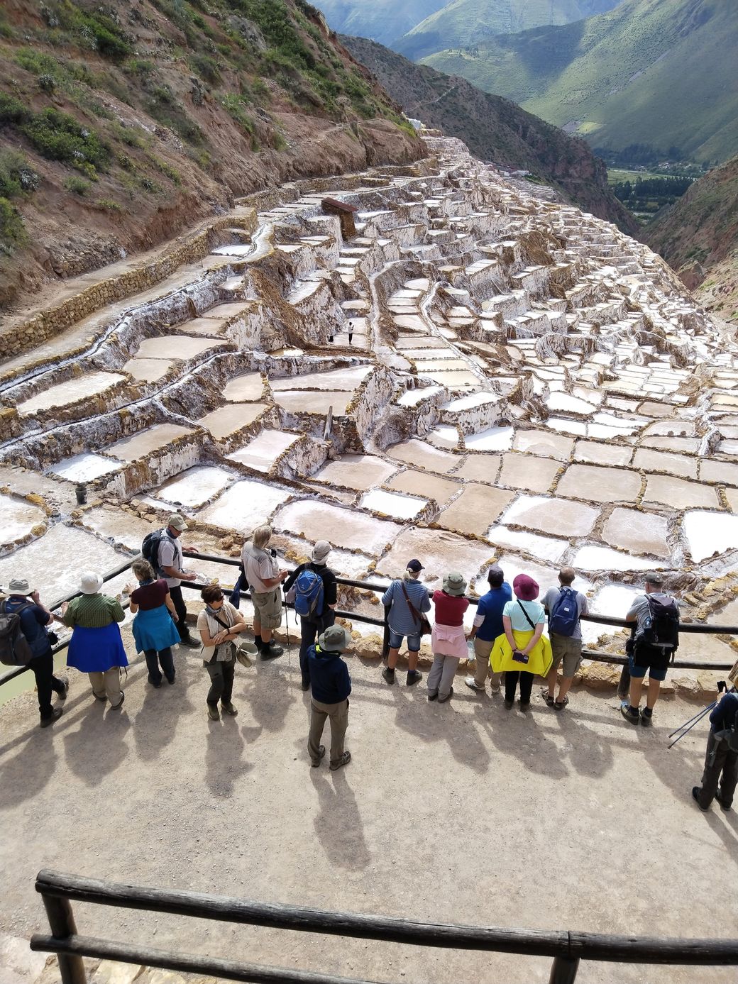
The salt pans at Maras. 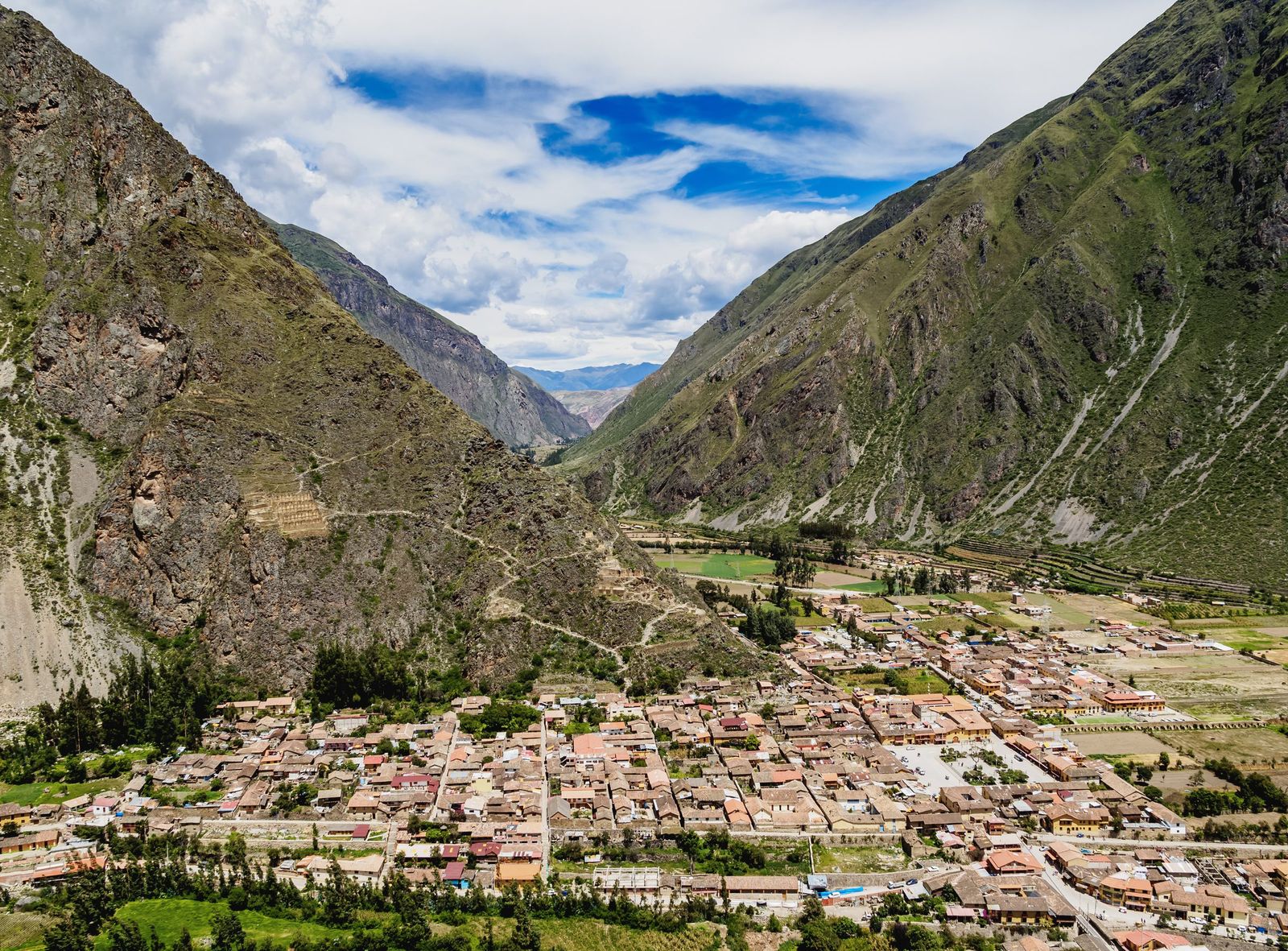
Ollantaytambo. -
11 Machu Picchu – Cusco – Lima Train and road back to Cusco
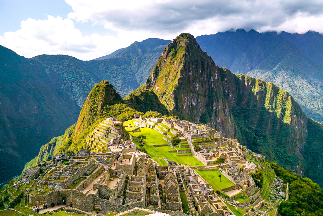
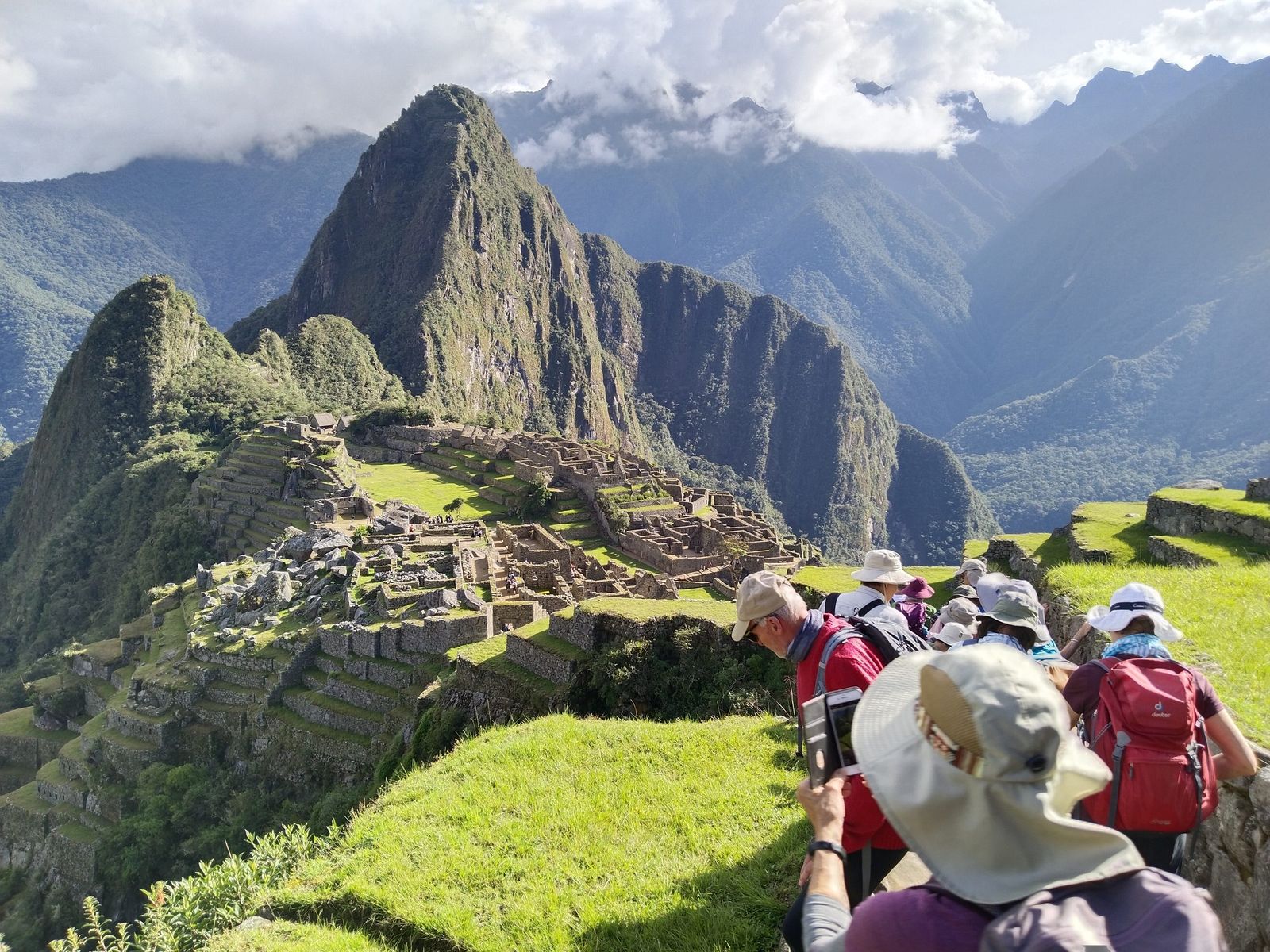
The train follows the Urubamba as it carves a gorge between cliffs crowned with cloud forest. Machu Picchu was built in the 15th century on a steep forested ridge above the river, and stayed hidden under the vegetation until Hiram Bingham began clearing it after its rediscovery in 1911. Our guide takes us through the terracing, the stonework and the temples. In the afternoon we descend to Aguas Calientes for the train back, and from Cusco we arrange the transfer to the airport for the flight to Lima.
- TravelTrain Aguas Calientes – Ollantaytambo 32 km (1.5 h) · road to Cusco 65 km (2 h)
- AltitudeMachu Picchu 2,460 m / 8,071 ft · Aguas Calientes 2,070 m
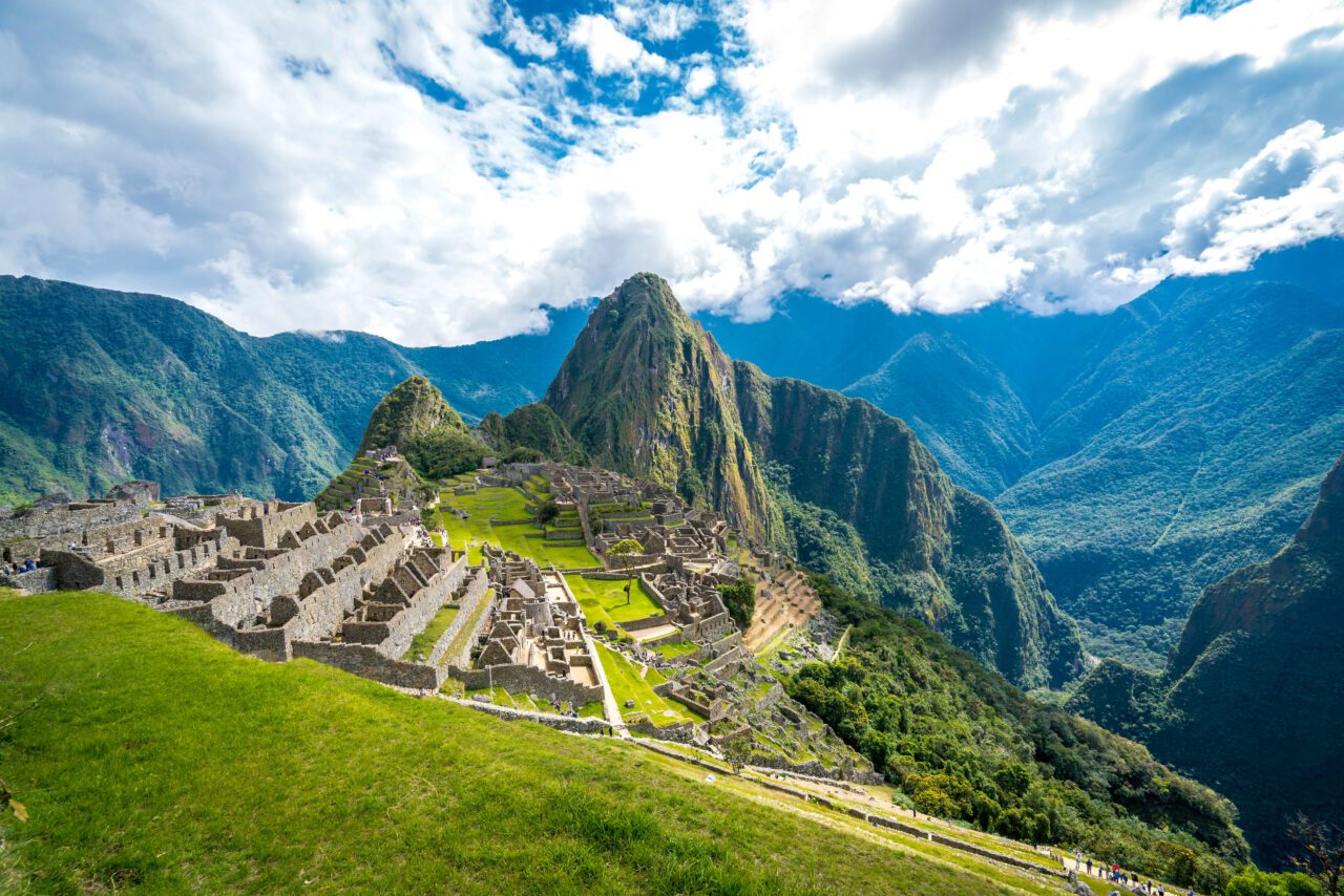
Machu Picchu. 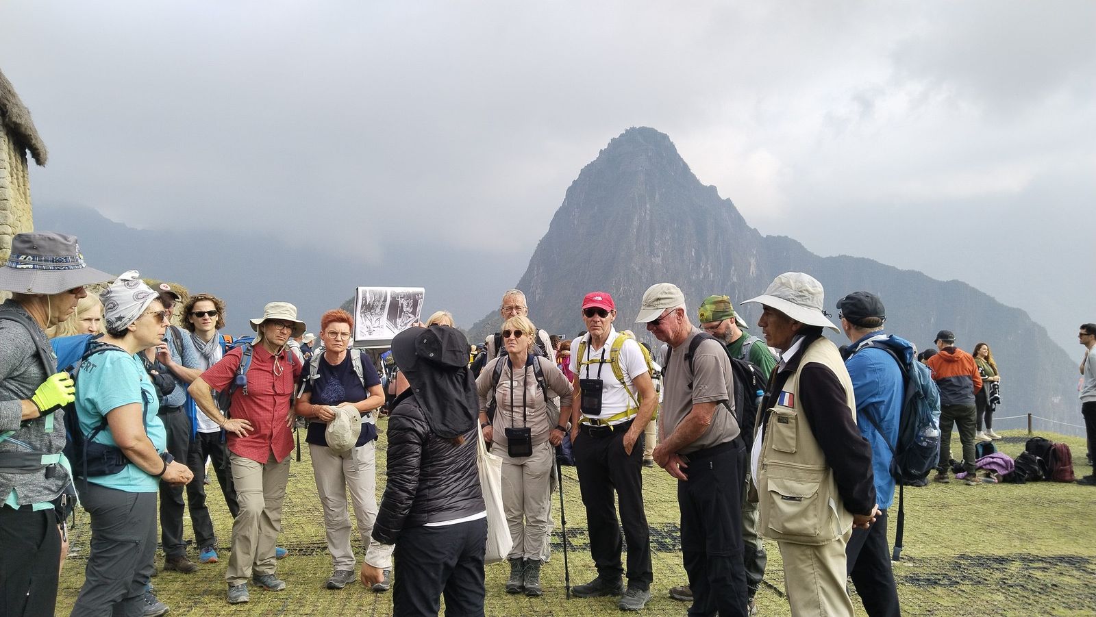
Inside the site, with the guide.
What’s included
Transport
- All necessary land transport between destinations
- Return train, Cusco – Machu Picchu – Cusco
- Return bus, Aguas Calientes – Machu Picchu – Aguas Calientes
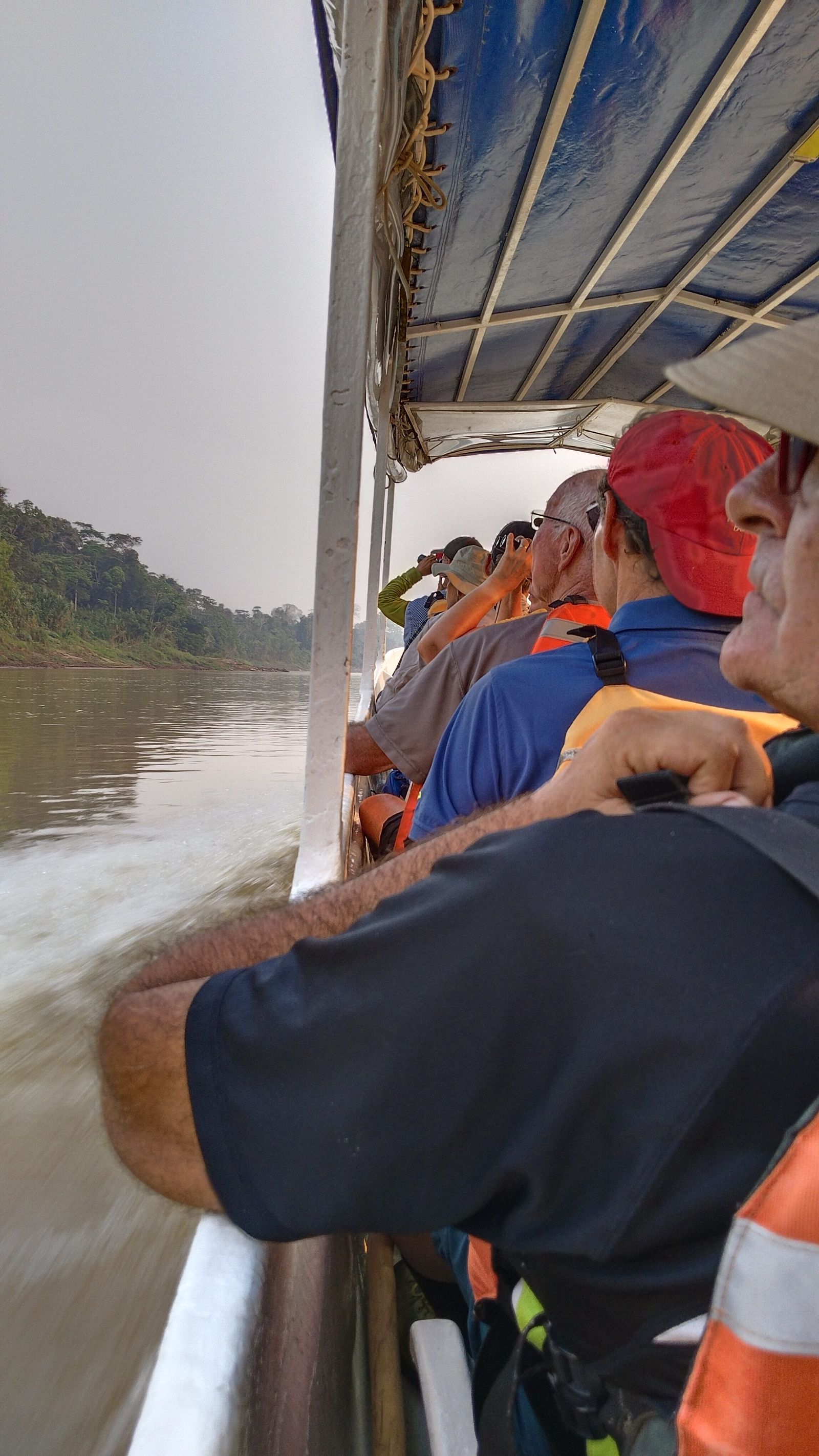
- Boat on Lake Titicaca, to the Uros islands and Taquile
Guiding and entrances
- All tours and transfers with an English-speaking guide, throughout the journey
- Entrance fees for every tour and excursion, park and museum on the itinerary
Where you sleep
- Selected hotels with private bathroom, on a double room basis
- Single supplement available where a private room is preferred
Meals
- Meals as listed day by day above
Not included
Tipping is not mandatory. It is appreciated as a gesture of gratitude for excellent service, and it is entirely at your discretion.
- Travel insurance — we strongly recommend comprehensive cover for medical emergencies, cancellation and lost luggage
- Meals not included in the itinerary
- Tips and gratuities
What to bring
What to pack
You carry a daypack with what you need during the day. Everything else travels with us.
Documents
- Passport, and additional photocopies of itit is required to enter several of the sites on this route, Machu Picchu included
- Travel insurance certificate
On the road
- A daypack for what you need during the day
- Good hiking boots, broken in beforehandTaquile and Pisac are walked on uneven ground
- A flashlight or headlamp
For the altitude
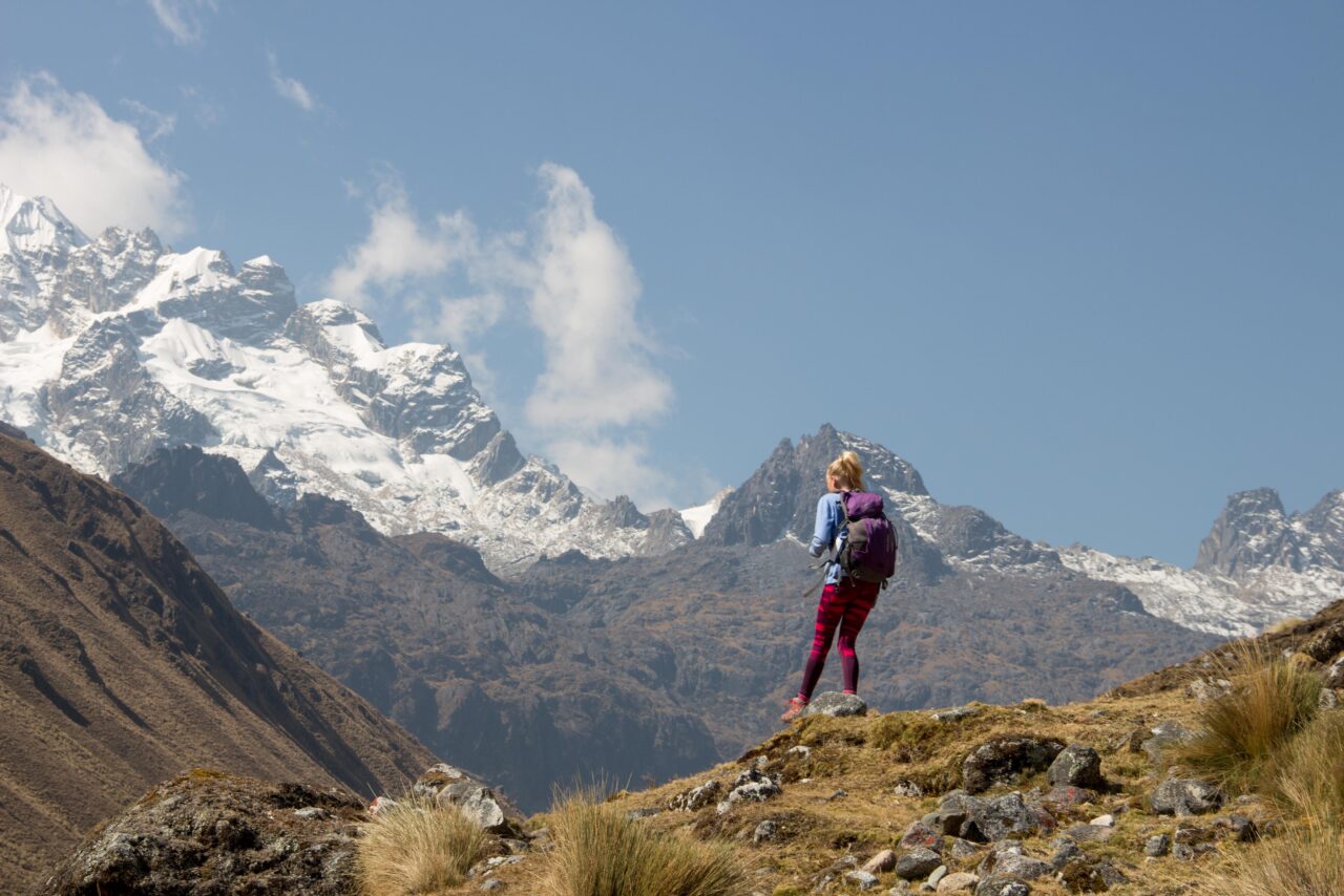
- Warm clothing for the Andean sectionsthe route crosses passes at 4,338 m and 4,800 m
- Layers: thermal shirts, fleece, an insulated vest
- Rain jacket, lightweight and breathable
Clothing and kit
- Long sleeved shirts (cotton)
- Shorts for walking (optional)
- Cap and sunglasses
- Sun block and insect repellent
- Camera
- Binoculars, for birdwatching enthusiasts
Travel style
Choose your travel style
The same trail, three levels of comfort. What changes is the camp, the team and the train home.
The Essential Experience
- Standard mountain camp
- Trek chef and full meals
- Local guide and porters
- Expedition train return
USD 00Reference price per person
More Comfort on Trail
- Premium tents and thick mats
- Personal porter for your gear
- Custom menu and high-altitude snacks
- Vistadome panoramic train
USD 00Reference price per person
The Trail, No Compromises
- Glamping-style camp
- Full private team
- Extra night in Aguas Calientes hotel
- Huayna Picchu entrance included
USD 00Reference price per person
The final figure depends on party size and season, and nothing is due until you confirm.
Why Andean Adventures Peru
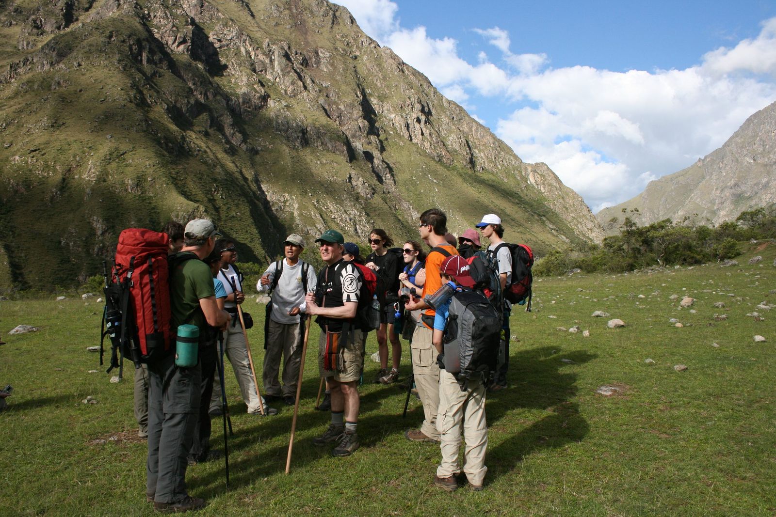
We hold our own Inca Trail permits, our guides and porters are our own staff, and the person who plans your trip is twenty minutes from the trailhead.
That is why the group you walk with is ours from the first briefing to the Sun Gate, and why we can often still find dates when other operators cannot.
A few of the benefits of travelling with us in Peru
- Operating in the Andes and the Amazon since 1985, from Cusco
- A locally owned travel company, based in Cusco
- Official Inca Trail operator under Peruvian government guidelines
- ISO 9001 and ISO 14001 certified
- Our own lodge inside the Tambopata National Reserve
- A tree planted on behalf of every traveller
Other signature journeys
You might also like
Other routes that end in the same place, or start from the same city.
Travel guides
Read before you go
Straightforward advice for the decisions that shape this trip.
 Destinations
Cusco, Sacred Valley and Machu Picchu
How to plan the essential circuit. The perfect sequence and pace to experience Peru’s three most iconic regions without feeling rushed.
Read the guide [LAST REVIEWED DATE] Planning
How Many Days Do You Need
5 to 15 days: what you can experience in each timeframe. A detailed breakdown of what’s possible at every duration level.
Read the guide [LAST REVIEWED DATE] Logistics
Managing Altitude Smoothly
Acclimatization strategies and altitude sickness prevention. Practical tips from our guides who navigate these peaks daily.
Read the guide [LAST REVIEWED DATE]
Planning
Best Time to Visit Peru
Climate, seasons, and what to expect. Learn when Peru shines and how weather impacts your activities across different regions and elevations.
Read the guide [LAST REVIEWED DATE]Speak to our Peru experts
Permits are the binding constraint on this trek. Tell us your dates and a planner in Cusco will tell you honestly what is still available.
FAQs
Everything you need to know
The questions we are asked most about the Inca Trail. If yours is not here, ask a planner directly.
How high does this trip go?
The two highest points are crossed by road: the Patapampa pass at 4,800 m between Chivay and Puno, and La Raya at 4,338 m between Puno and Cusco. You sleep at 3,635 m in Chivay, 3,870 m in Puno and 3,400 m in Cusco. The route starts at sea level in Lima and gains altitude over several days, which is the reason for that order.
Am I sharing a room?
Accommodation is at selected hotels with a private bathroom, quoted on a double room basis. A single supplement is available where you would rather have your own room.
Is travel insurance included?
No. We strongly recommend comprehensive travel insurance covering medical emergencies, trip cancellation and lost luggage.
Do I need to tip?
Tipping is not mandatory. It is appreciated as a gesture of gratitude for excellent service, and it is entirely at your discretion.